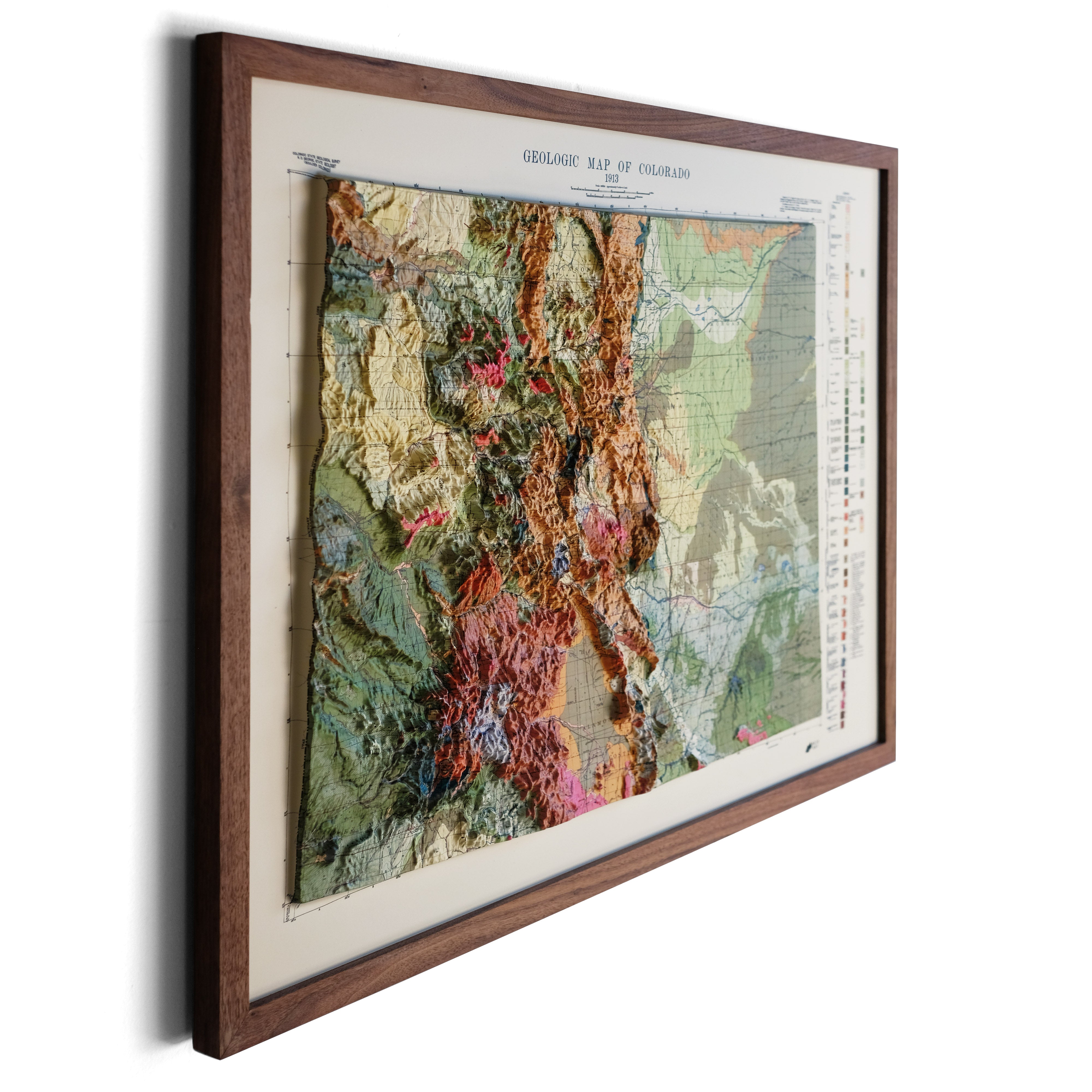
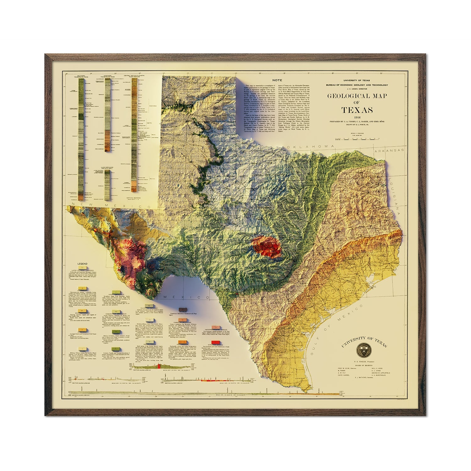
In the heart of the American West, you'll find Colorado's rich tapestry of geological wonders. These landscapes appeal to outdoor enthusiasts, nature lovers, and amateur topographers around the globe. Colorado geology is some of the most diverse in the world. In fact, it has everything from towering mountains to ancient formations and beautiful, sweeping vistas.
So, if you're ready to explore everything this state has to offer, keep reading. We're covering the geology of three of the most interesting regions. Yes, we're talking about the Great Plains, the Colorado Plateau, and the southern Rockies.
The Great Plains
Just to the east of the Rocky Mountains National Park lie the Great Plains. This area includes quite a significant portion of the state's land, covering around 40% of its territory.
However, perhaps surprisingly, this relatively flat region starts at an elevation of around 5,000 to 6,000 feet. This is near the eastern foothills of one of the most famous mountain ranges in the US, the Rocky Mountains, and slopes down toward Kansas. Here, the elevation sits at around 3,500 feet.
One of the defining features of the High Plains (a subregion of the Great Plains), is its composition of sedimentary rocks. Over millions of years, sediments such as sand, silt, and clay accumulated on the seabed. This gradually compacted and cemented into rock formations. Some of the most common examples of sedimentary rocks found in the High Plains include sandstone, shale, and limestone.
Beneath these layers, though, are Precambrian rocks - also known as "basement rocks" - that are made up of older igneous and metamorphic rocks. These include granite, schist, and gneiss, which provide a sturdy layer for the sedimentary rocks to rest on.
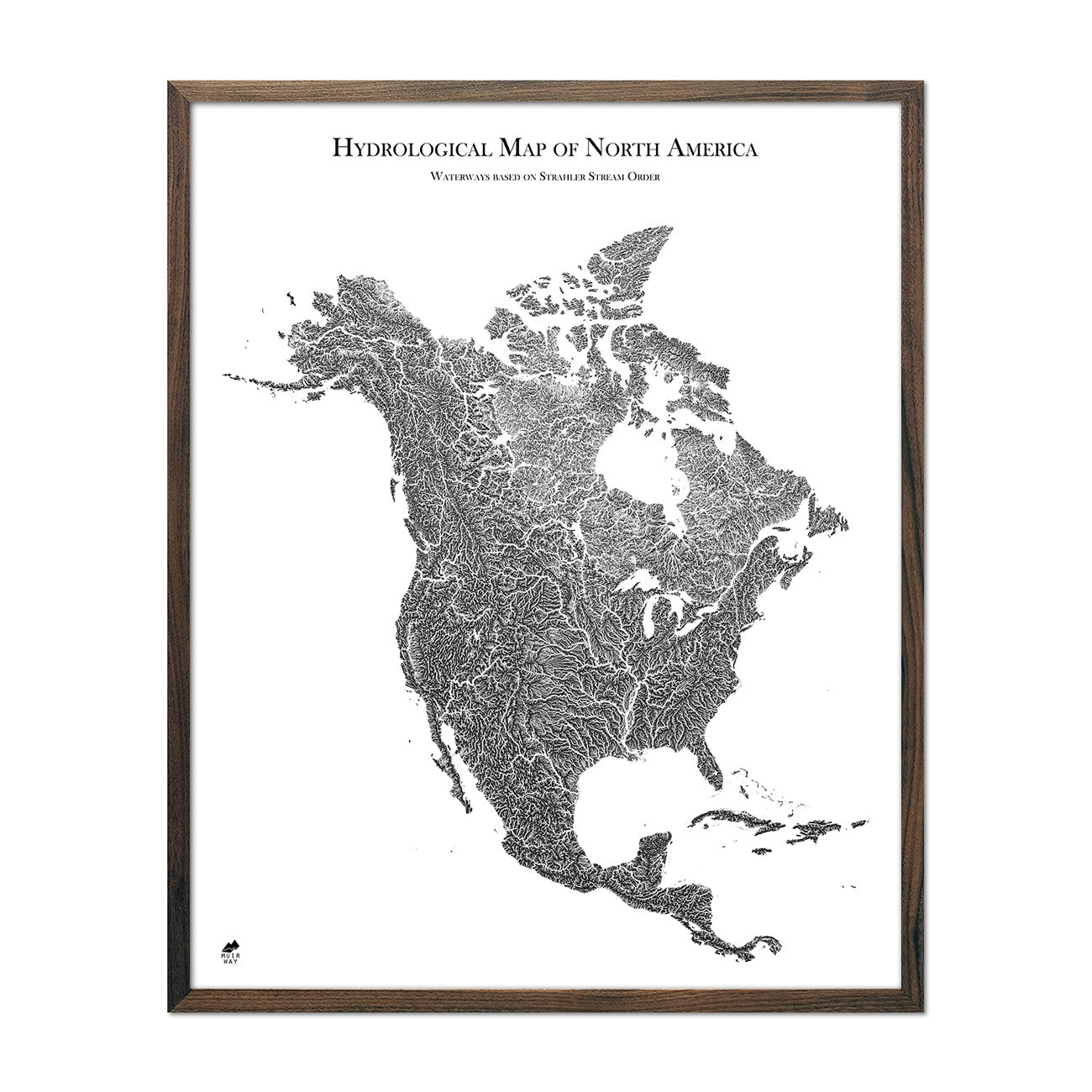
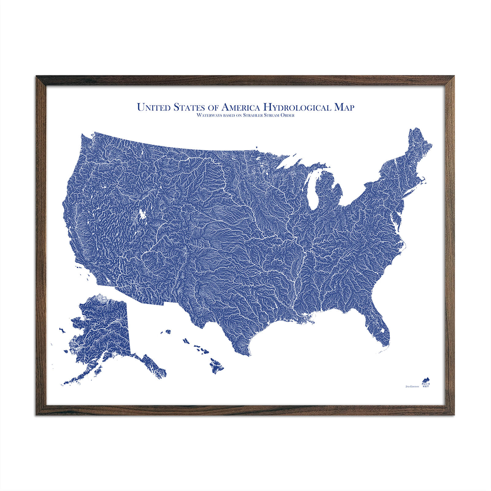
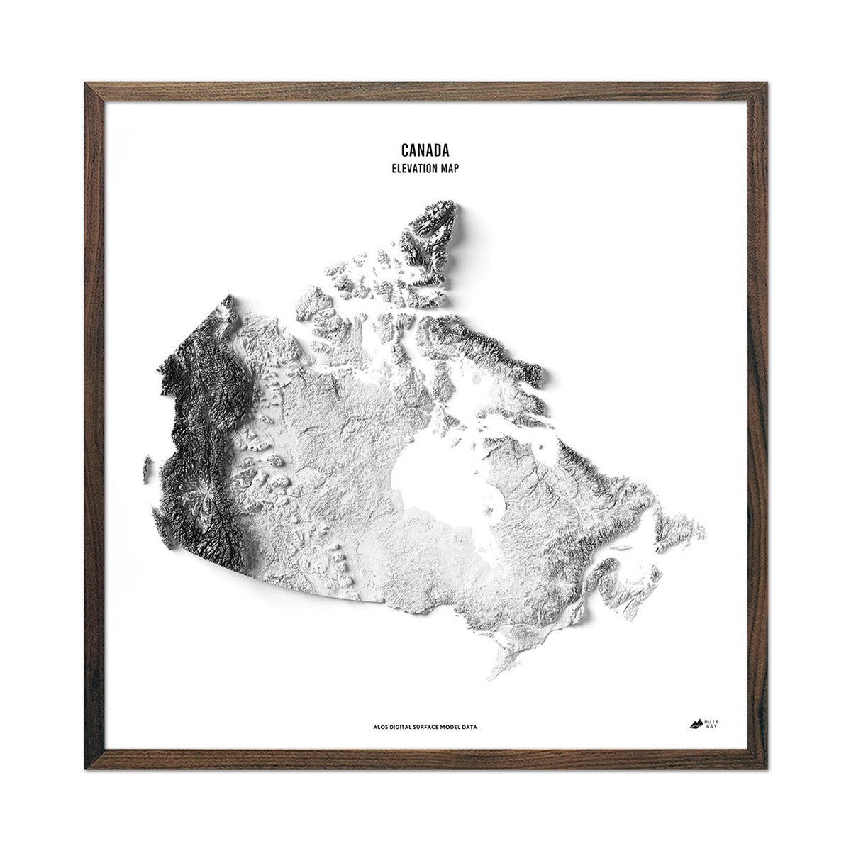
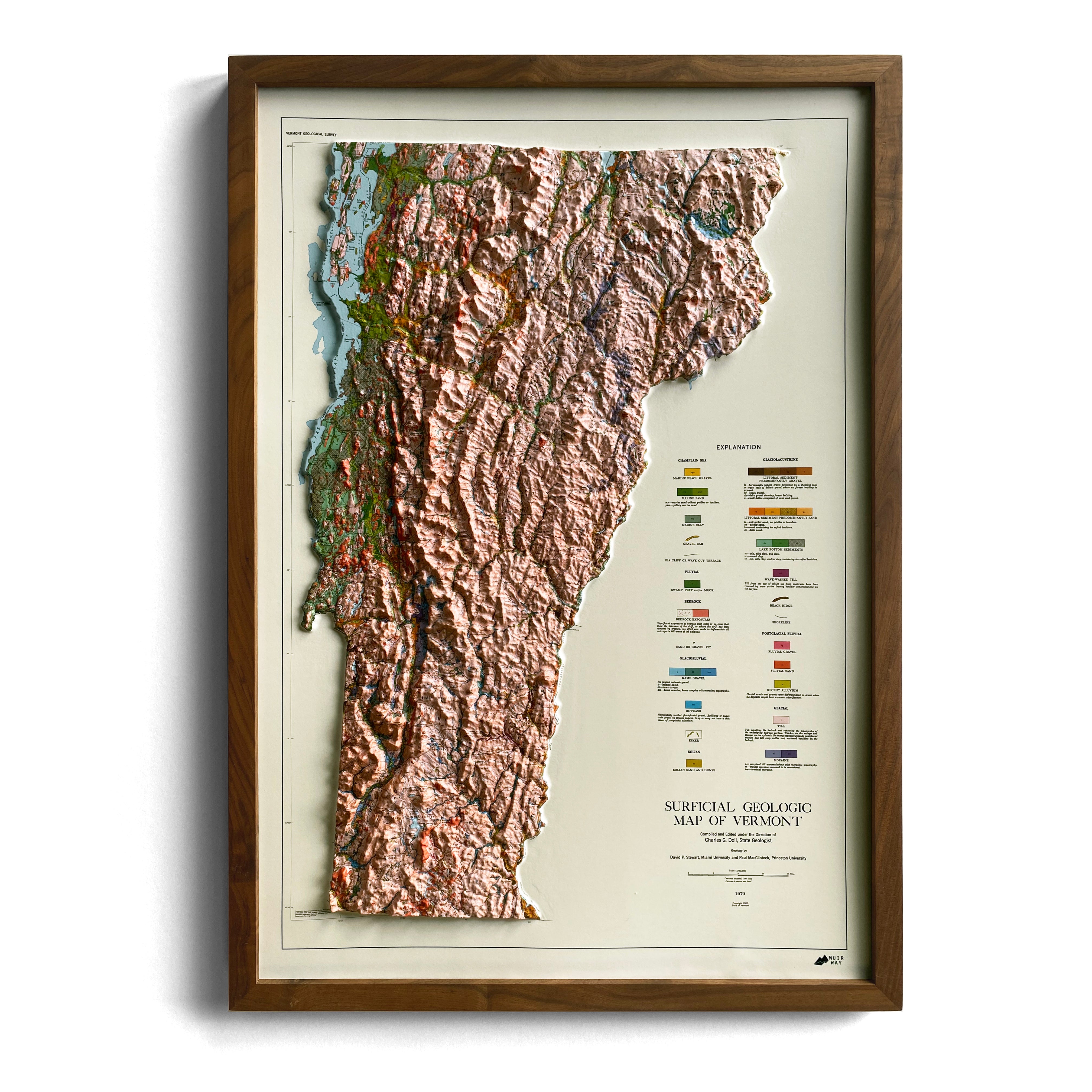
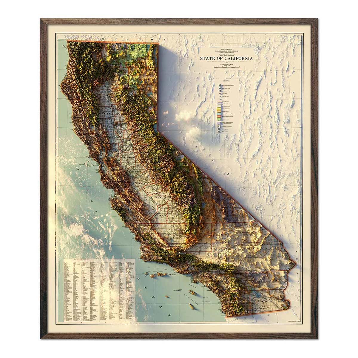
Muir Way's map prints of the Great Plains are perfect for navigating and understanding this terrain. They show the High Plains' topography or elevation (how high or low the land is) and hydrology (how water flows).
The Colorado Plateau
The Colorado Plateau stretches across vast parts of Colorado, as well as parts of Utah, Arizona, and New Mexico. What really makes it stand out is that it's home to some of the most iconic geological formations on Earth. It's also home to the Colorado National Monument, meaning the famous Grand Canyon and well-known Grand Mesa are part of this region.
According to geological maps, the Colorado Plateau is a high-desert region. It's characterized by its relatively flat-lying sedimentary rock that was uplifted over a million years ago. The elevations (represented by the color brown on a map) within the Plateau range between 5,000 and 11,000 feet above sea level. In turn, this is what creates such a diverse range of ecosystems and climates.
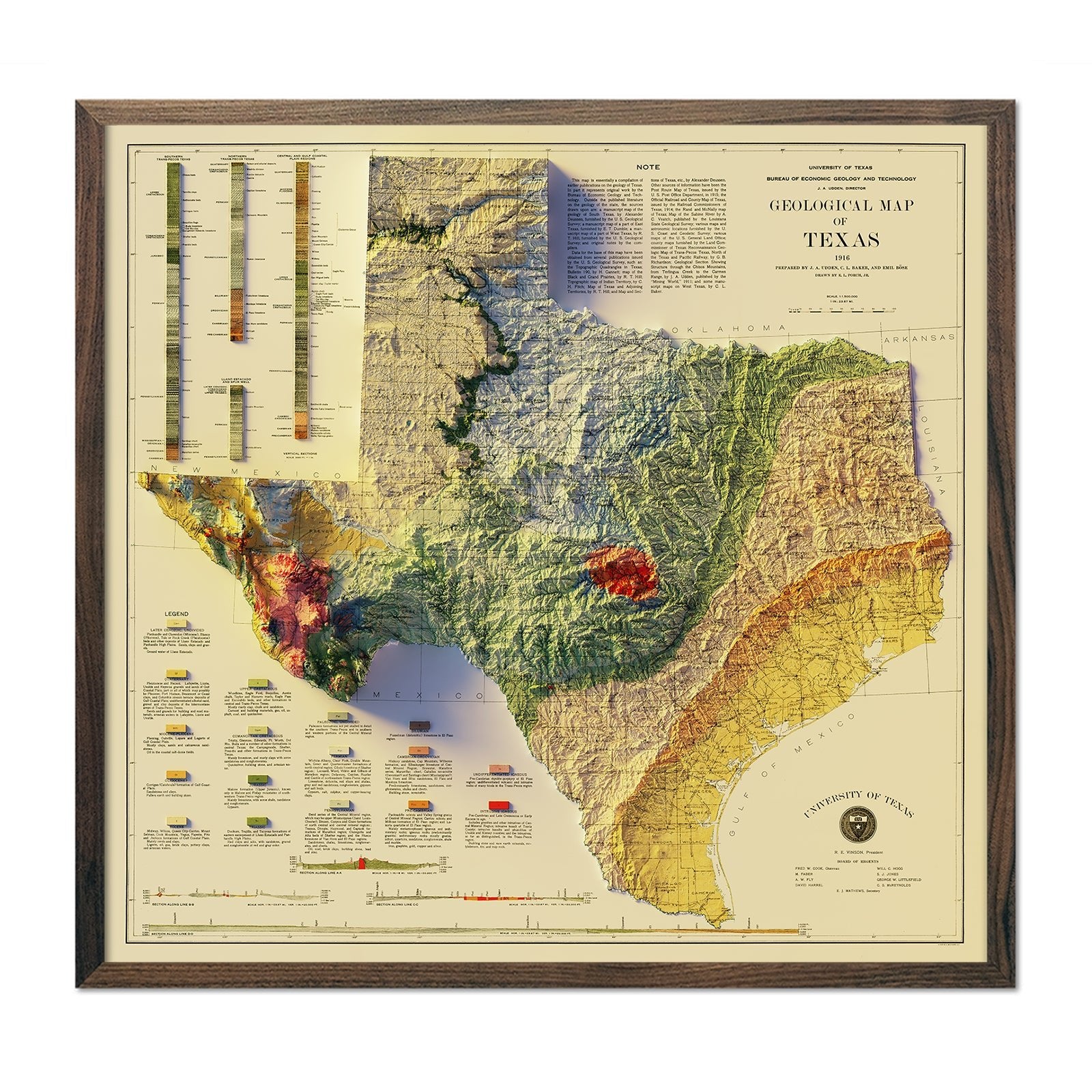
In addition to its canyons, the Colorado Plateau is filled with other interesting geological features. All of these features have evolved over millions of years. If you take a look at any of the vintage maps of the area, you'll see the difference between what it used to look like and how the area is today! These days it's filled with natural mesas, buttes, arches, and natural bridges.
The Southern Rocky Mountains
Nestled in the Rocky Mountain National Park are the Southern Rockies. They stretch from northern New Mexico through western Colorado and into southern Wyoming.
In terms of its cartography, the Southern Rockies present a fascinating blend of topographic complexity and natural beauty. The elevation here is also off the charts, with some peaks reaching as high as 14,000 feet, including the iconic Pikes Peak and Longs Peak.
The geology of the Southern Rockies is also a testament to the region's tumultuous history. From the walls of the Colorado National Monument to the Ancestral Rocky Mountains, there are layers of sedimentary and metamorphic rocks containing millions of years' worth of history.
In the western reaches of the Southern Rockies near the San Juan Mountains and the San Juan Basin, there is an abundance of volcanic rock. Further east, in the South Platte River Valley, igneous rocks such as basalt flows and volcanic tuffs cover the landscape.
FAQs
What formed first - the Rockies or the Great Plains?
The Rockies formed before the Great Plains. However, the geological history of the Rockies dates back millions of years. The initial uplift took place during the Laramide Orogeny around 70 million years ago.
The Great Plains only started taking shape much later and their formation was influenced by the erosion and deposition of sedimentary rocks over millions of years. This was particularly influential on the landscape during the Cretaceous and Tertiary periods.
What is different about the rock formations in the Rockies and Great Plains?
The main difference between these two lies in their geographical composition. There is also a contrast between their formation processes. The Rockies and its surrounding rocks contain an array of igneous, sedimentary, metamorphic, and molten rock. These were uplifted and folded during tectonic activity.
In contrast, the Great Plains generally consist of flat-lying sedimentary layers. These layers include sandstone, shale, and limestone. These layers, however, were deposited by ancient yet shallow seas and rivers.
Are the Rockies and Great Plains close to each other?
Yes, the Rockies and the Great Plains are actually adjacent to each other. In several areas, the transition from the Rocky Mountains to the Great Plains is gradual. If you're ever lucky enough to go, you'll notice the foothills slowly give way to flatter terrain.
The distance between the two regions will vary depending on your exact location. For example, in some areas of Colorado, the Great Plains begin immediately east of the Rocky Mountains. But in other regions, like Montana, the transition is much further away.
Are there other significant geological formations in Colorado?
Absolutely! Two of the most interesting geological formations in the Colorado region include the Wall Mountain Tuff and the Fish Canyon Tuff, which have been formed from volcanic ash that was ejected during explosive eruptions around 28 million years ago.
But while Wall Mountain is primarily made up of volcanic ash and rock fragments, the Fish Canyon is known for its gorgeous pinkish color thanks to the iron-rich minerals within the formation.
Final Thoughts
The amazing geological wonders of Colorado offer us an incredible glimpse into the Earth's history. This is because all the different rock formations have unique compositions that have formed through different geologic events like volcanic eruptions. And, when you're hiking through Colorado's geology, it's important to be informed about the different terrains you're going to face.
Luckily, with Muir Way's maps, you'll be able to understand even more about these incredible ranges! So, be sure to check out our collection of Colorado map prints to help carve out your path.

